This article explores the list of States and Capitals of India with Map. India is the world’s seventh-largest country and also the second-largest population nation. It is located in the South of Asia. Officially, India is known as the Republic of India. The full country from one location is tough to handle. The Indian Constitution grants the central government the power to make states as they see fit.
- List of states and capitals of india
- Union Territories in India
- States and Capitals of India Map
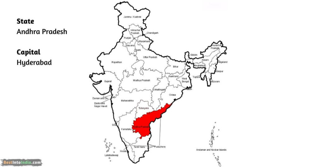
- 1. Andhra Pradesh Map
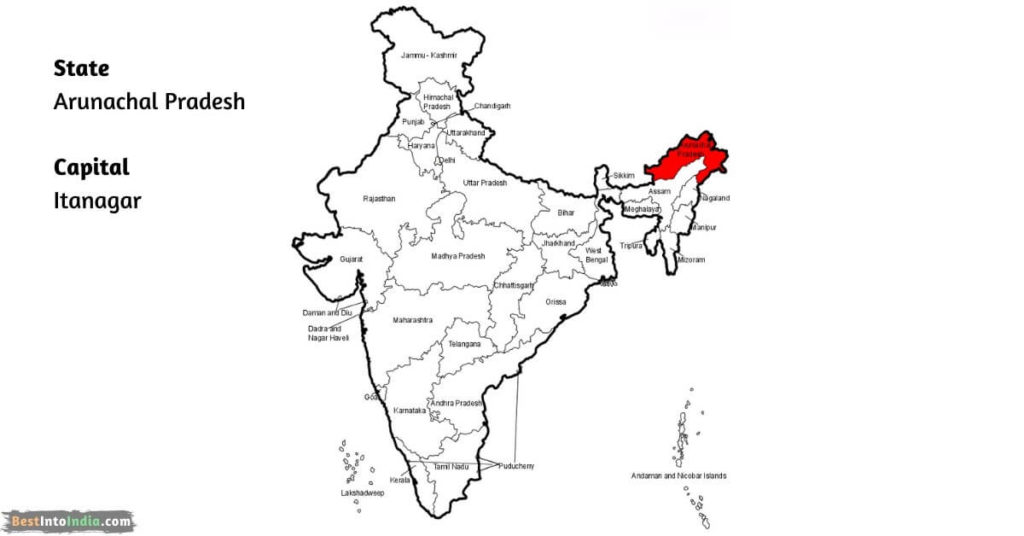
- 2. Arunachal Pradesh Map
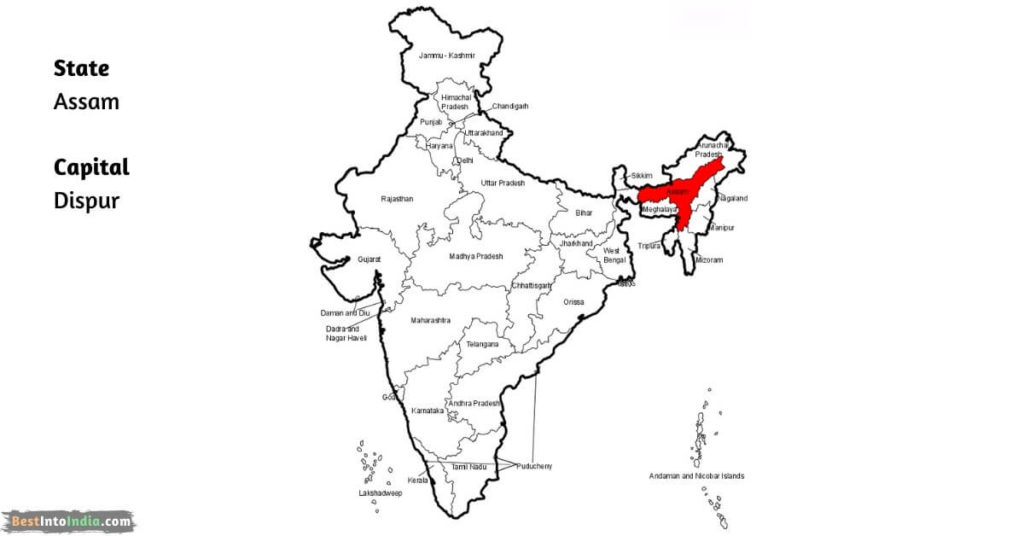
- 3. Assam Map
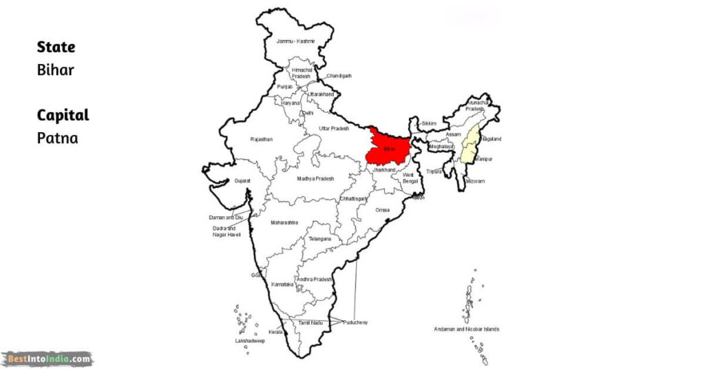
- 4. Bihar Map
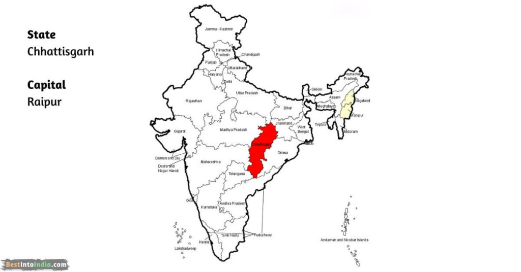
- 5. Chhattisgarh Map
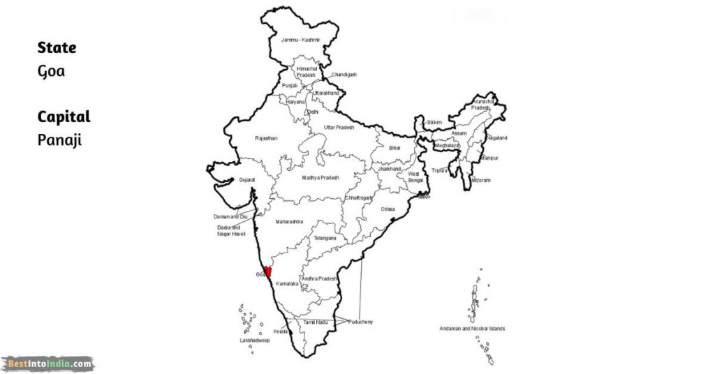
- 6. Goa Map
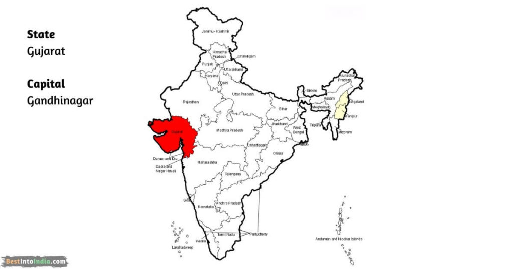
- 7. Gujarat Map
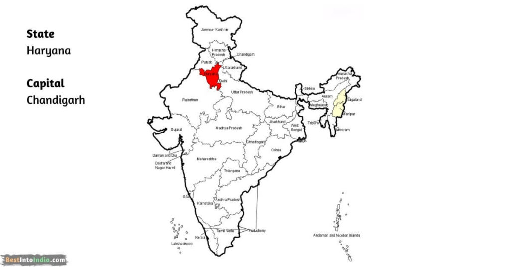
- 8. Haryana Map
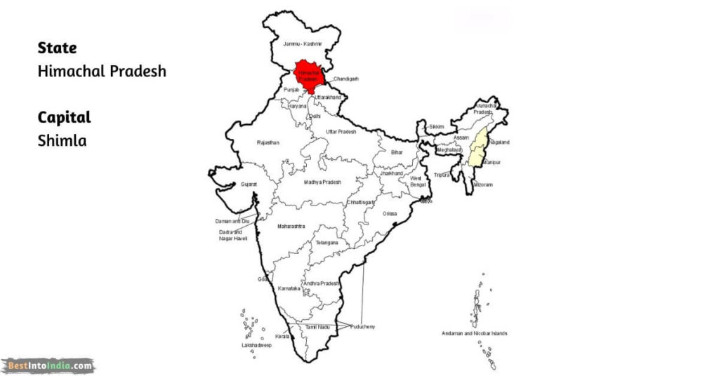
- 9. Himachal Pradesh Map
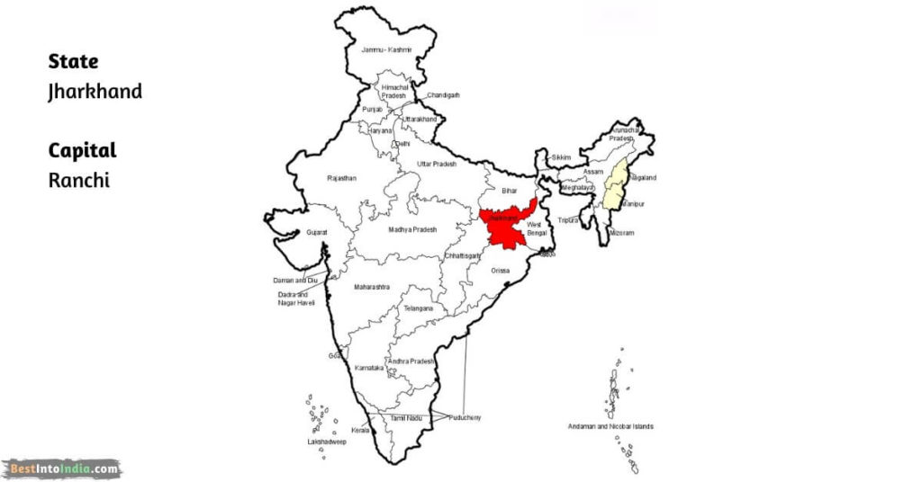
- 10. Jharkhand Map
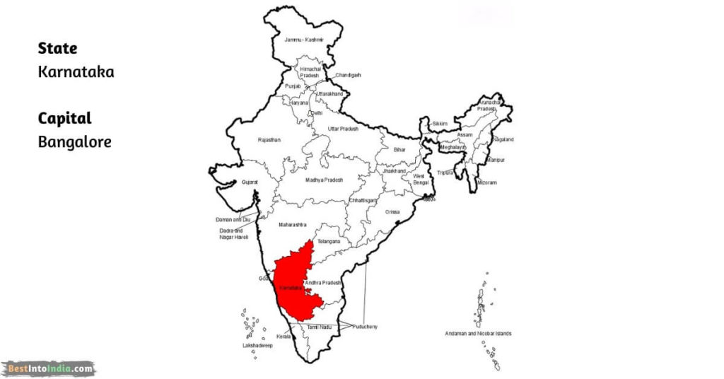
- 11. Karnataka Map
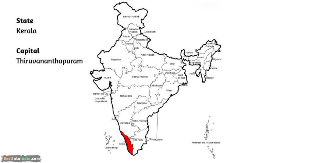
- 12. Kerala Map
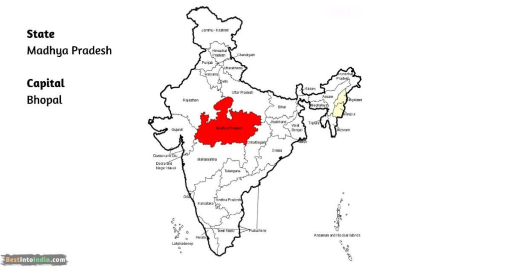
- 13. Madhya Pradesh Map
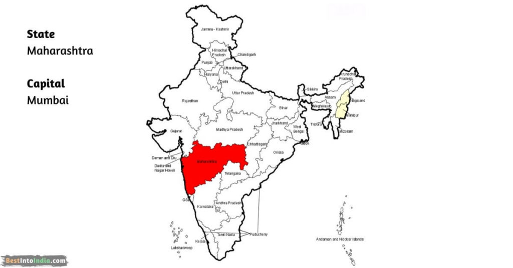
- 14. Maharashtra Map
- 15. Manipur Map
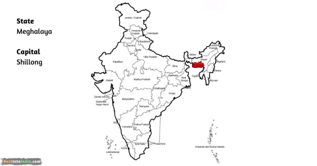
- 16. Meghalaya Map
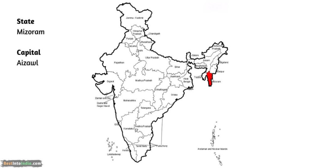
- 17. Mizoram Map
- 18. Nagaland Map
- 19. Odisha Map
- 20. Punjab Map
- 21. Rajasthan Map
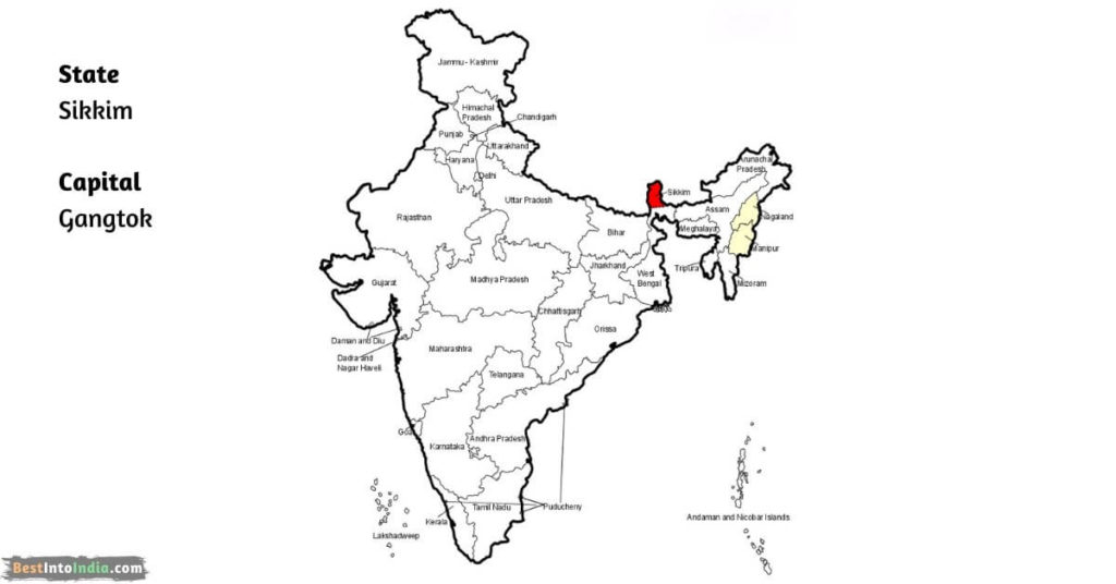
- 22. Sikkim Map
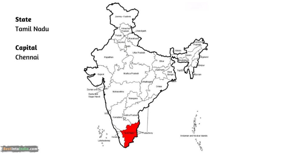
- 23. Tamil Nadu Map
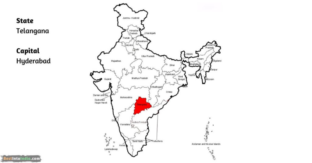
- 24. Telangana Map
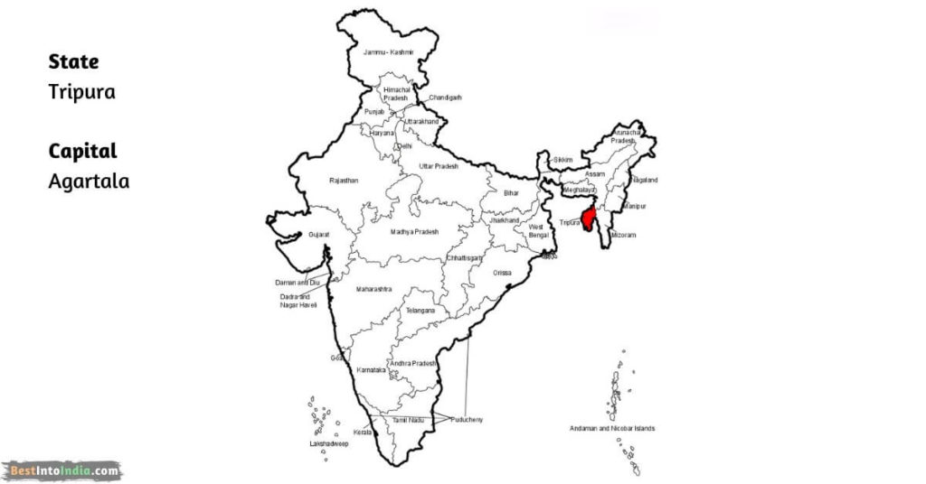
- 25. Tripura Map
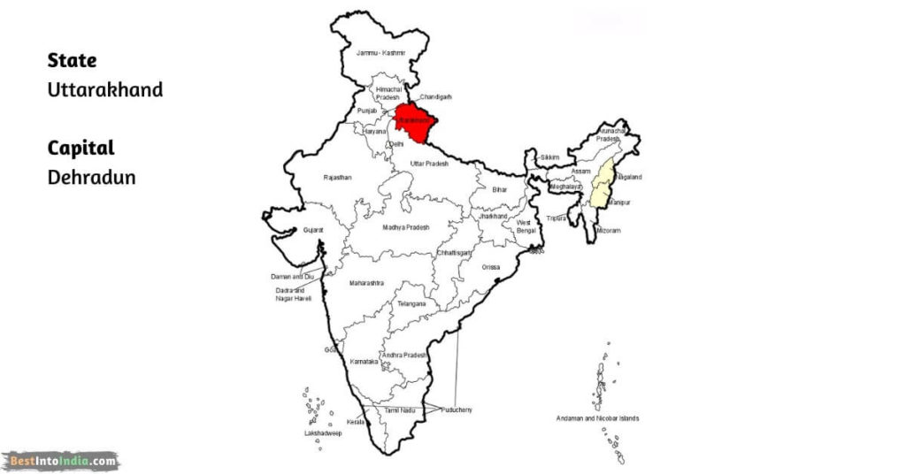
- 26. Uttarakhand Map
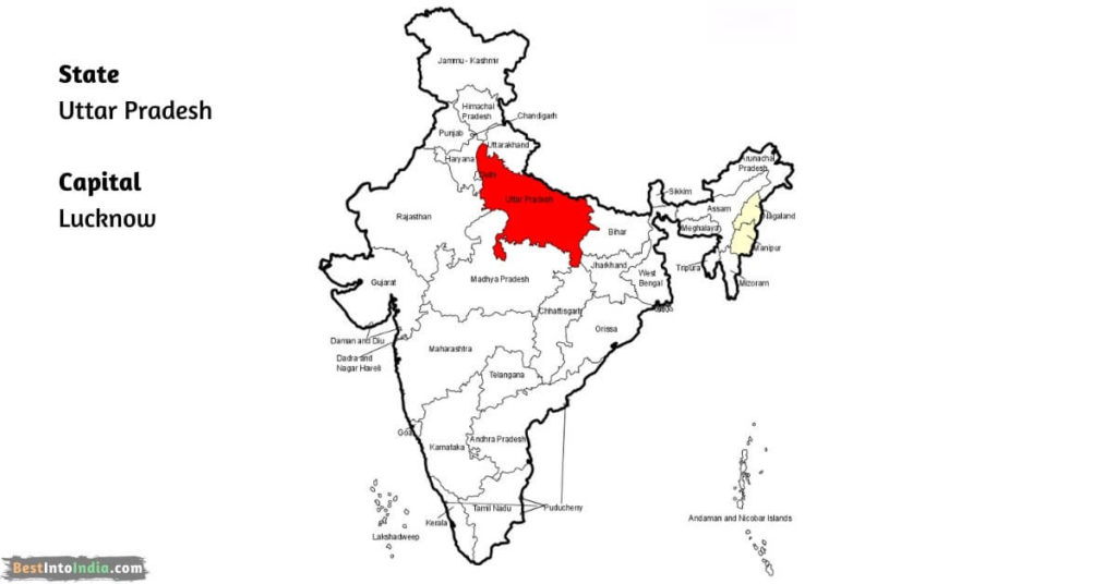
- 27. Uttar Pradesh Map
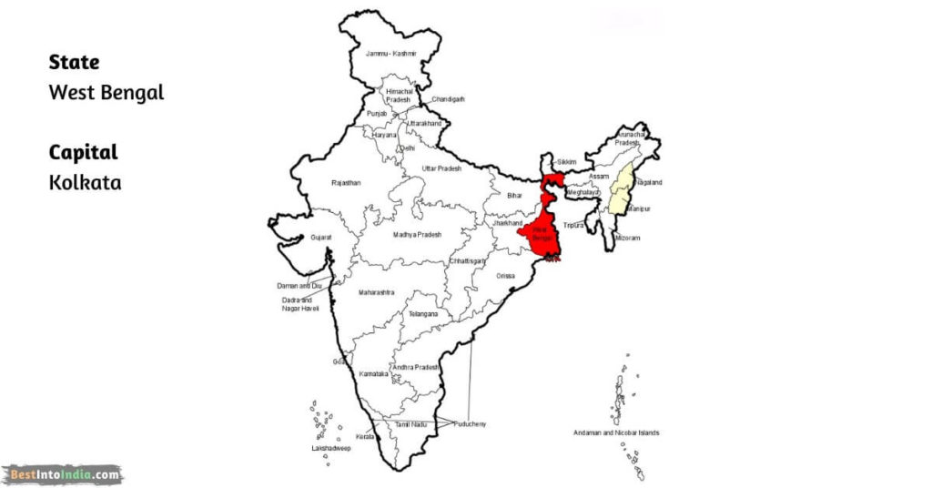
- 28. West Bengal Map
- List of Union Territories with Map
- States and Capitals of India : FAQ’s
In india total 28 states and 8 Union Territories.
Number of states in India are :
Andhra Pradesh,Assam,Bihar,Chhattisgarh,Goa,Gujarat,Haryana,Himachal Pradesh,Jharkhand,Karnataka,Kerala,Madhya Pradesh,Maharashtra,Manipur,Meghalaya,Mizoram,Nagaland,Odisha,Punjab,Rajasthan,Sikkim,Tamil Nadu,Telangana,Tripura,Uttarakhand,Uttar Pradesh,West Bengal.
Eight union territories of India are:
- Union territories with their elected legislatures and governments
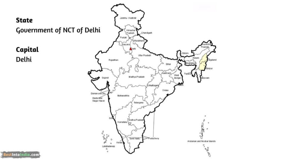
• The Government of NCT(National Capital Territory) of Delhi
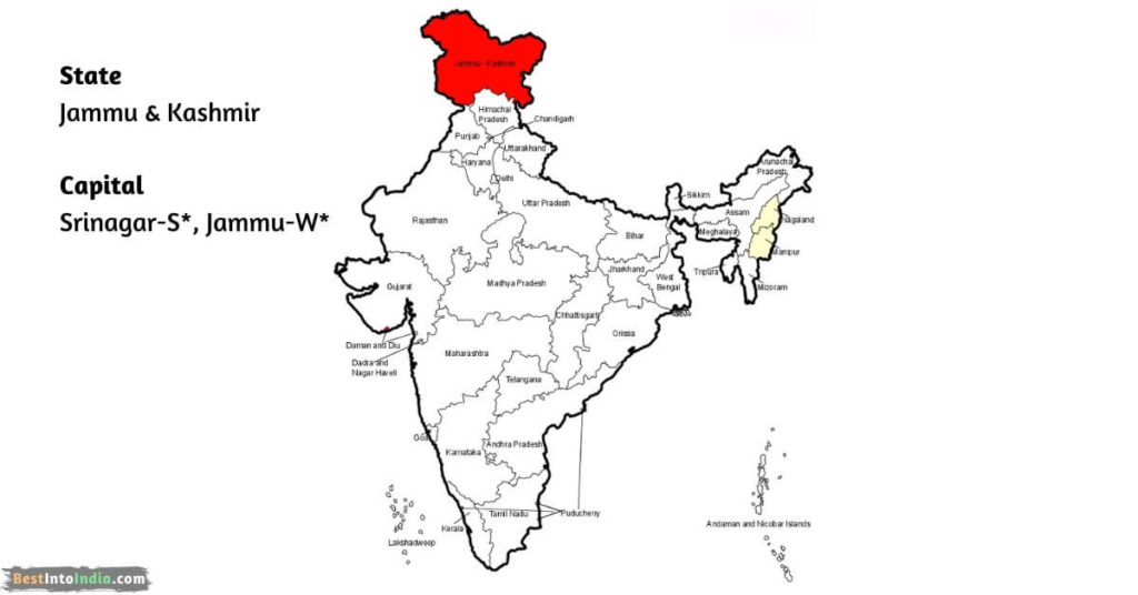
• Jammu and Kashmir
• Puducherry - Union territories with their elected legislatures and governments
• Andaman and Nicobar Islands
• Chandigarh
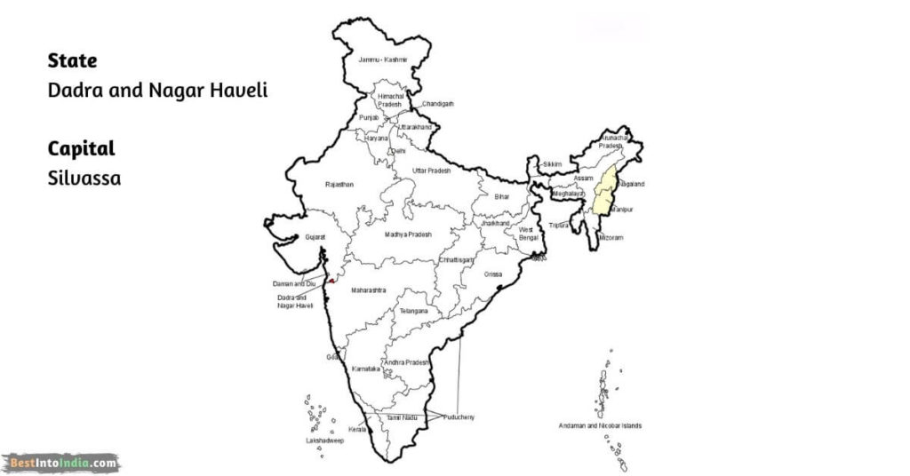
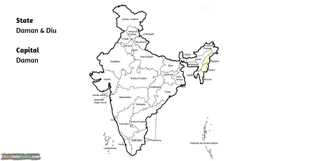
• Dadra and Nagar Haveli and Daman and Diu
• Lakshadweep
• Ladakh
List of states and capitals of India
| States | Capitals |
|---|---|
| Andhra Pradesh | Hyderabad |
| Arunachal Pradesh | Itanagar |
| Assam | Dispur |
| Bihar | Patna |
| Chhattisgarh | Raipur |
| Goa | Panaji |
| Gujarat | Gandhinagar |
| Haryana | Chandigarh |
| Himachal Pradesh | Shimla |
| Jharkhand | Ranchi |
| Karnataka | Bangalore |
| Kerala | Thiruvananthapuram |
| Madhya Pradesh | Bhopal |
| Maharashtra | Mumbai |
| Manipur | Imphal |
| Meghalaya | Shillong |
| Mizoram | Aizawl |
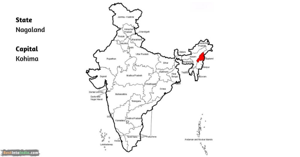
| Nagaland | Kohima |
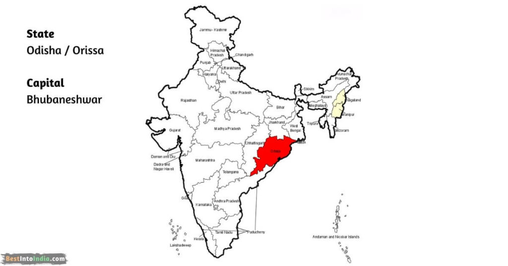
| Odisha | Bhubaneshwar |
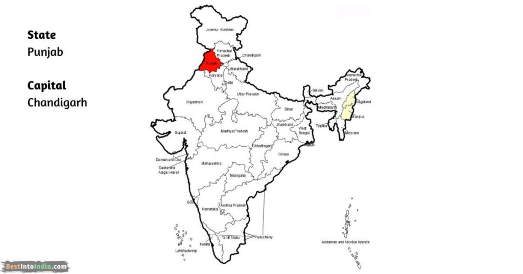
| Punjab | Chandigarh |
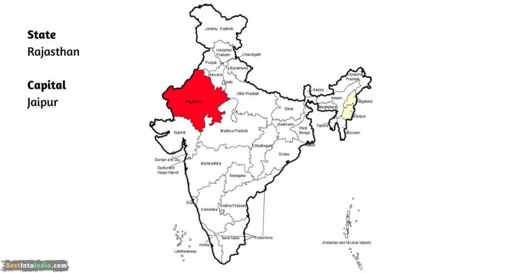
| Rajasthan | Jaipur |
| Sikkim | Gangtok |
| Tamil Nadu | Chennai |
| Telangana | Hyderabad |
| Tripura | Agartala |
| Uttarakhand | Dehradun |
| Uttar Pradesh | Lucknow |
| West Bengal | Kolkata |
Union Territories in India
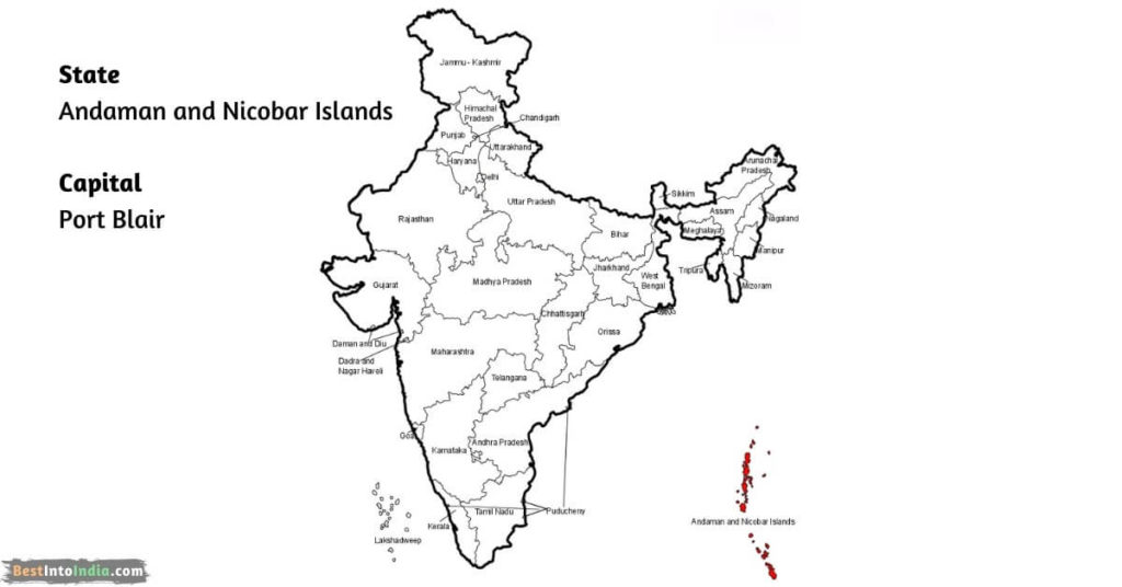
| Andaman and Nicobar Islands | Port Blair |
| Chandigarh | Chandigarh |
| Dadra and Nagar Haveli and Daman & Diu | |
| The Government of NCT of Delhi | Delhi |
| Jammu & Kashmir | Srinagar-S, Jammu-W |
| Ladakh | Leh |
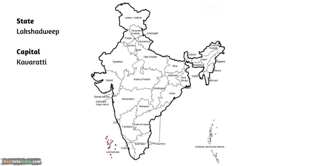
| Lakshadweep | Kavaratti |
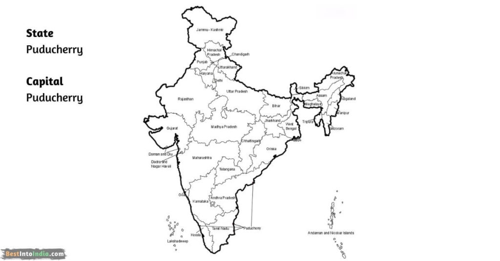
| Puducherry | Puducherry |
Indian Products List VS Foreign Products List
States and Capitals of India Map
1. Andhra Pradesh Map
2. Arunachal Pradesh Map
3. Assam Map
4. Bihar Map
5. Chhattisgarh Map
6. Goa Map
7. Gujarat Map
8. Haryana Map
9. Himachal Pradesh Map
10. Jharkhand Map
11. Karnataka Map
12. Kerala Map
13. Madhya Pradesh Map
14. Maharashtra Map
15. Manipur Map
16. Meghalaya Map
17. Mizoram Map
18. Nagaland Map
19. Odisha Map
20. Punjab Map
21. Rajasthan Map
22. Sikkim Map
23. Tamil Nadu Map
24. Telangana Map
25. Tripura Map
26. Uttarakhand Map
27. Uttar Pradesh Map
28. West Bengal Map
List of Union Territories with Map
1. Andaman and Nicobar Islands Map
2. Dadra and Nagar Haveli Map
3. Daman & Diu Map
4. The Government of NCT of Delhi Map
5. Jammu & Kashmir Map
6. Lakshadweep map
7. Puducherry map
States and Capitals of India : FAQ’s
Total states in India 28 and 8 Union Territories.
Uttar Pradesh
Sikkim
Maharashtra
Rajasthan (342,239 km²)
Goa (3,702 km²)
Kerala
Andhra Pradesh-Hyderabad
Arunachal Pradesh-Itanagar
Assam-Dispur
Bihar-Patna
Chhattisgarh-Raipur
Goa-Panaji
Gujarat-Gandhinagar
Haryana-Chandigarh
Himachal Pradesh-Shimla
Jharkhand-Ranchi
Karnataka-Bangalore
Kerala-Thiruvananthapuram
Madhya Pradesh-Bhopal
Maharashtra-Mumbai
Manipur-Imphal
Meghalaya-Shillong
Mizoram-Aizawl
Nagaland-Kohima
Odisha-Bhubaneshwar
Punjab-Chandigarh
Rajasthan-Jaipur
Sikkim-Gangtok
Tamil Nadu-Chennai
Telangana-Hyderabad
Tripura-Agartala
Uttarakhand-Dehradun
Uttar Pradesh-Lucknow
West Bengal-Kolkata
Andaman and Nicobar Islands
Chandigarh
Dadra and Nagar Haveli and Daman & Diu
The Government of NCT of Delhi
Jammu & Kashmir
Ladakh
Lakshadweep
Puducherry